
The peak is about a 20-mile round-trip hike over the continental divide; the climb itself is a good-sized day (plus a day on either end for the approach).
NB: Nearly all of the photos are by Chuck; therefore, unlike almost all of the photos on the website, this trip shows lots of me and barely any of anyone else.
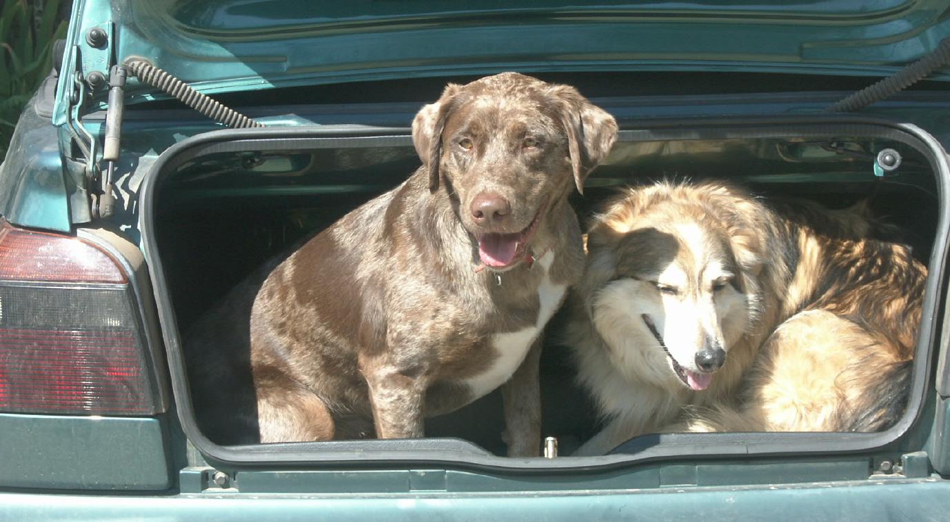
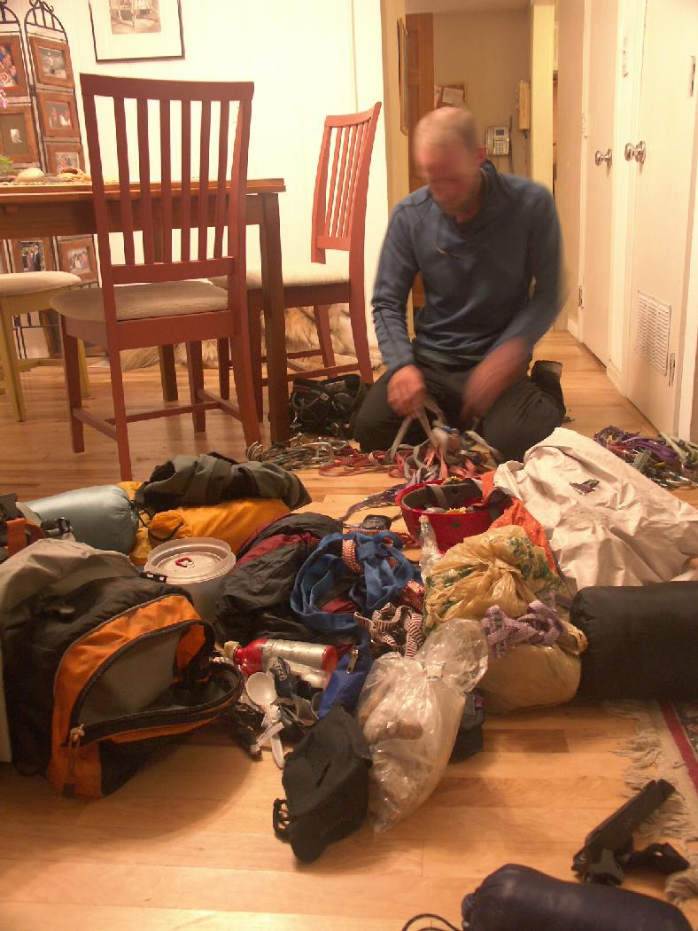
| Dogs are loaded up for efficiency. |
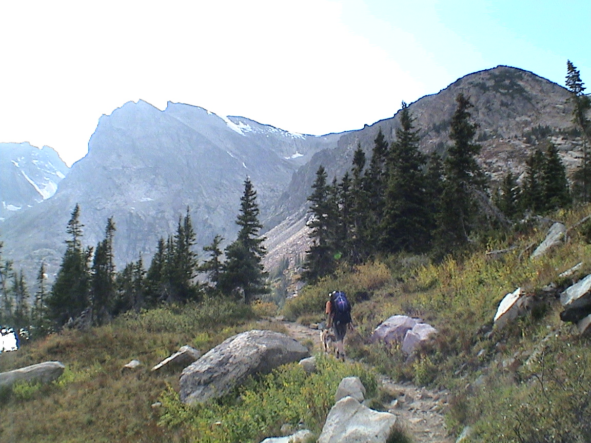
| Hiking in from Brainard Lake. Note the precise documentation of our navigational flaw: turnoff for Pawnee Pass (which we missed) was a good deal earlier. Jared and I climbed Shoshoni (center) and Navajo (left, cut-off) in the few weeks earlier. |
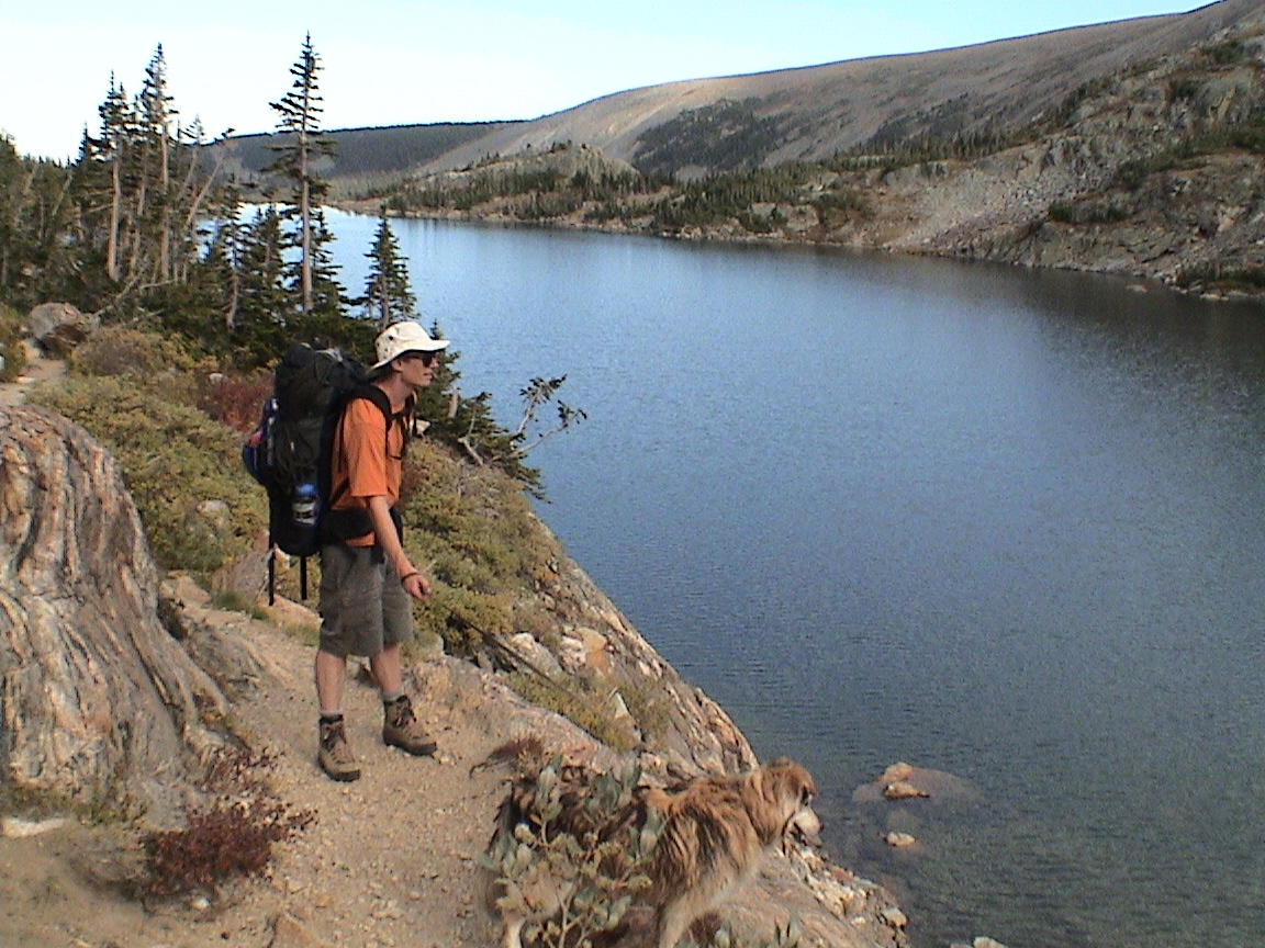
| More photos at the lake we're not supposed to be at. |
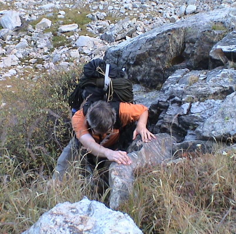
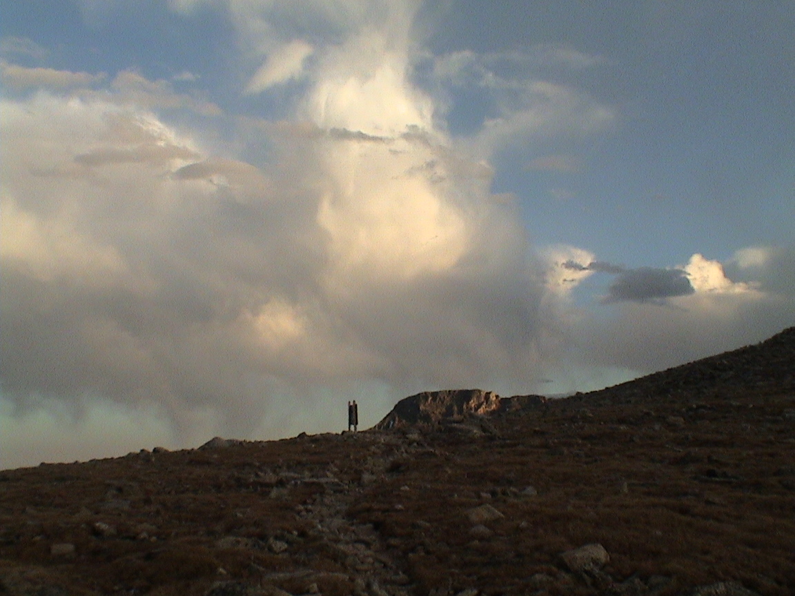
| Hauling up the boulder field to join the proper trail. |
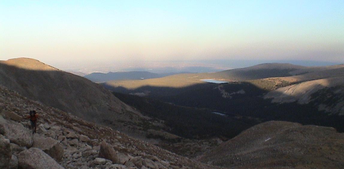
| Looking back on sunset over Denver. |
| |
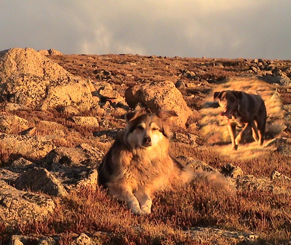
| Kaia chases Cooper. |
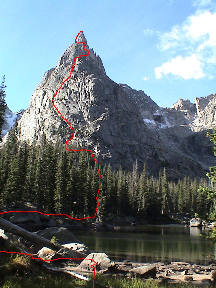
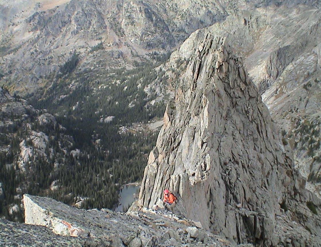
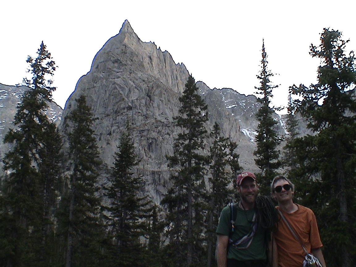
| Lone Eagle, taken at 9:30 PM when we arrived to camp, via Chuck's night-vision-enabled Handicam. Route marked in, although we didn't rope up for the pitches near the lake. |
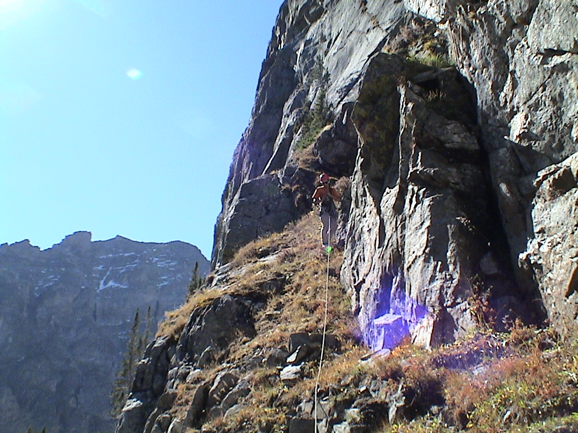
| Around the end of pitch 4. |
| |
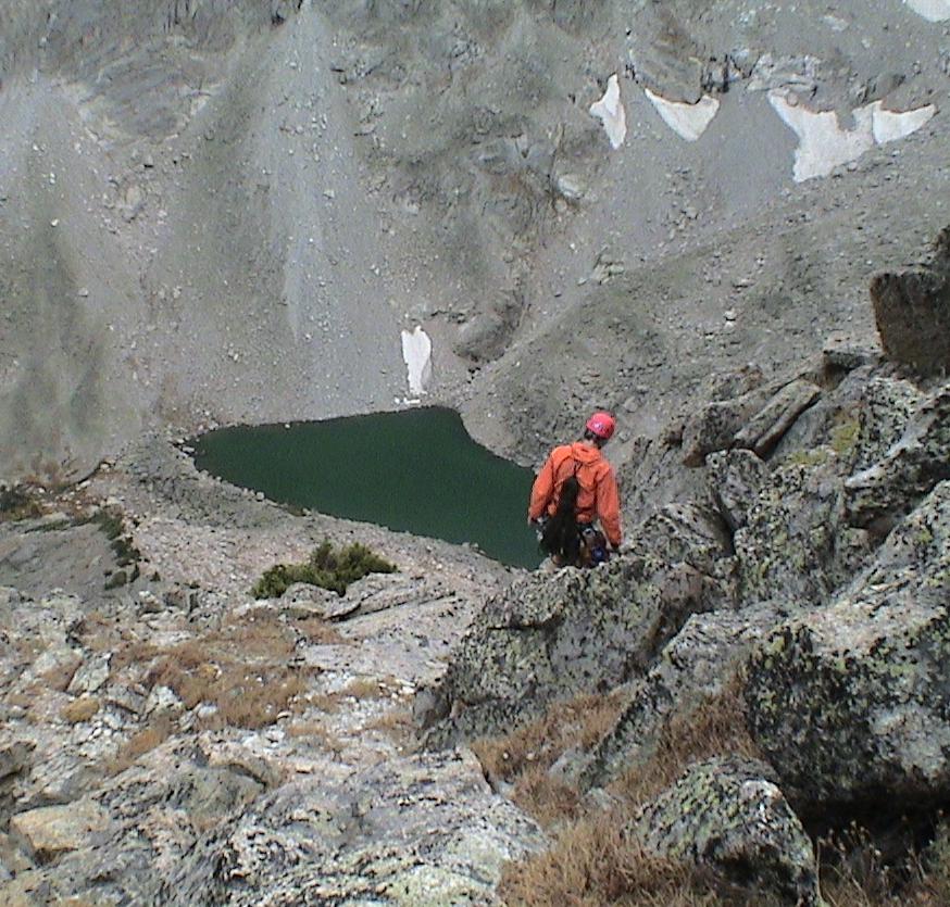
| Crater Lake below. |
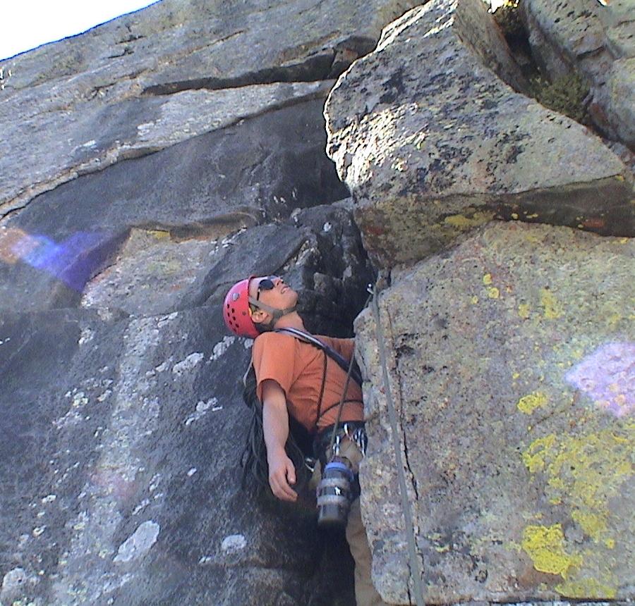
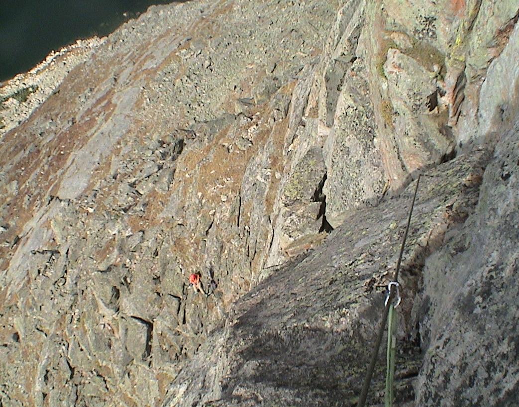
| Start of the crux pitch (P10). |
| Chuck finishing P10. |
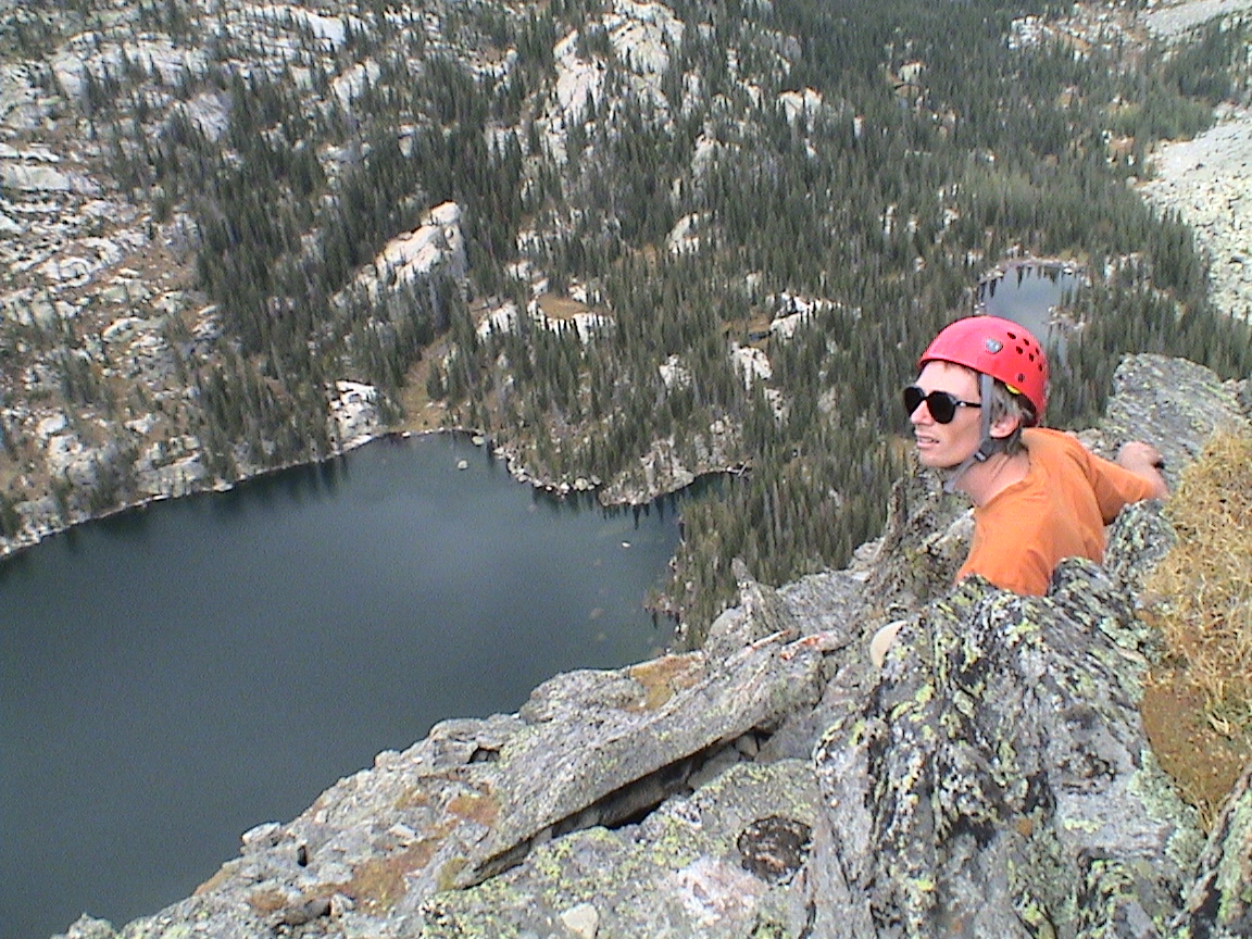
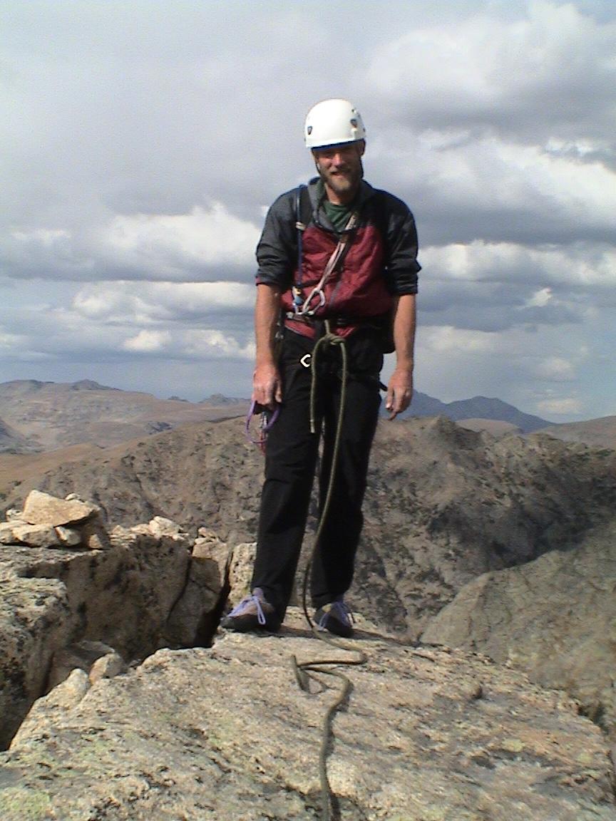
| I wildly celebrate P11. Note that the `summit' register is here and this is the apparent summit as seen from the lake; however, all the rock behind me is actually as much higher as it looks. AHT is visible just left of center. |
| |
| |
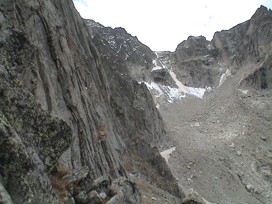
| On the `descent', we climb up toward the real peak. |
| Triangle Lake has at least four sides. |
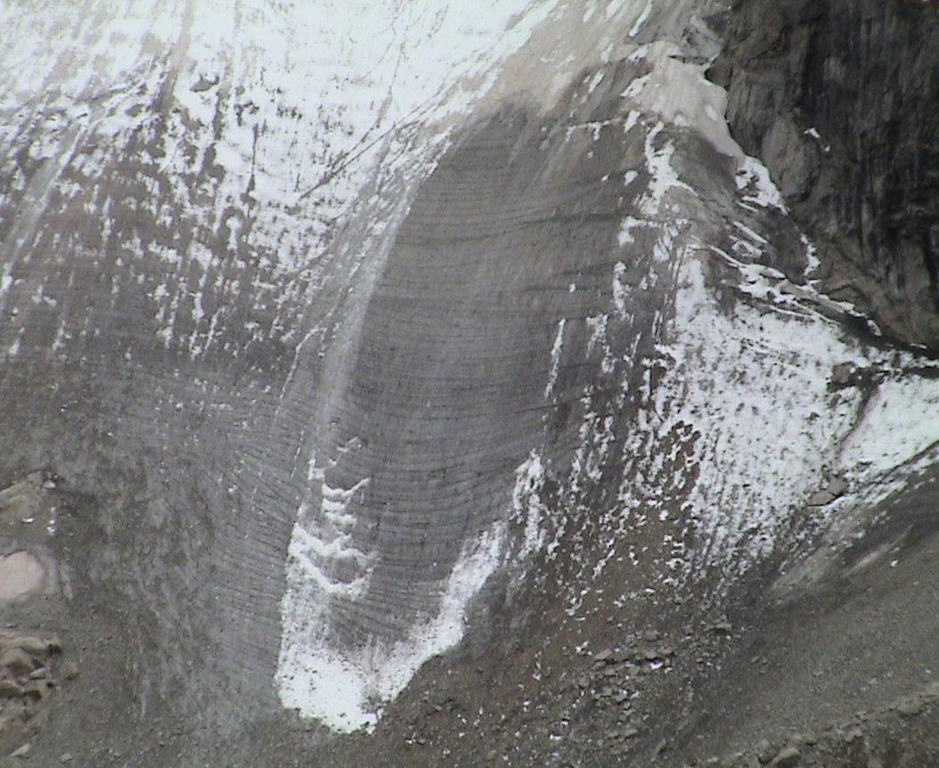
| Check it out! Crossbedding in the glacier! This is wild. Size scale is a maybe a few feet between the smallest features. |
| From the tentsite. |
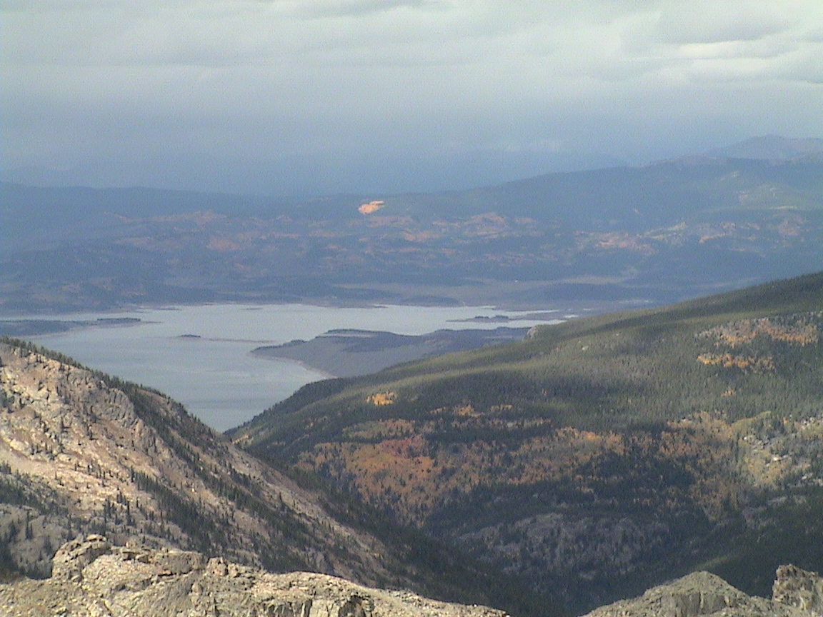
| Hiking back over the divide, looking on Grand Lake, the hills burning with aspen. |
| Chuck sorts through booty collected on the route. |
Last modified Mon Jan 17 12:24:03 2005